
Drone Imaging
Your trusted partner for professional home services. Quality workmanship, guaranteed satisfaction.

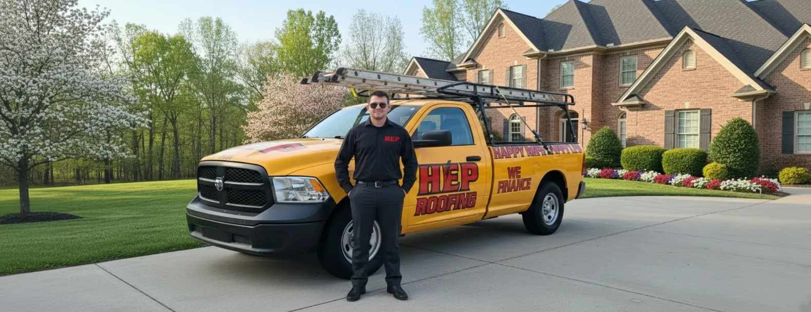
Drone Imaging | Roof Inspections | Roofing | Rutledge
When you call HEP in Rutledge, you get more than a quick glance from a ladder—you get crystal-clear drone imagery that uncovers every shingle flaw, flashing gap, and hidden leak in minutes. Our FAA-certified pilots fly high-resolution drones over your property, capturing angles that traditional roof inspections simply can’t reach while keeping boots off your shingles and your landscaping untouched.
The result is a detailed digital report delivered straight to your inbox, complete with annotated photos, thermal readings, and expert recommendations that empower you to make confident repair or replacement decisions. From historic farmhouses to sprawling commercial complexes, HEP’s drone technology brings safety, speed, and precision to Rutledge homeowners and business owners alike—saving time, reducing costs, and protecting what matters most.
FAQs
What advantages do drone roof inspections offer over traditional ladder inspections in Rutledge?
Drone imaging allows us to capture high-resolution photos and 4K video of every angle of your roof without anyone leaving the ground. This reduces safety risks, speeds up the inspection process, and provides you with detailed visual evidence of any damage, wear, or structural issues. Drones can also access hard-to-reach or fragile areas without causing further harm to your roofing materials.
Is a drone inspection accurate enough to identify small leaks or hail damage?
Yes. Our drones use 20-megapixel cameras, zoom lenses, and optional thermal sensors. These tools detect granule loss, cracked shingles, punctures, lifted flashing, and moisture hotspots that may indicate leaks. After the flight, we analyze imagery with specialized software that highlights potential problem areas down to a fraction of an inch, ensuring nothing is overlooked.
Will a drone flight disturb my neighbors or violate privacy laws?
We strictly follow FAA Part 107 regulations and local Rutledge ordinances. Flights are planned to stay within your property boundaries, and data collection is limited to your roof and immediate surrounds. We notify adjacent homeowners when necessary and only capture imagery relevant to the inspection, deleting any unrelated footage to respect privacy.
How long does a typical drone roof inspection take, and when will I get the report?
Most single-family homes in Rutledge can be fully scanned in 15–25 minutes of flight time. Larger or more complex roofs may require up to 45 minutes. You’ll receive a comprehensive digital report—complete with annotated photos, measurements, and repair recommendations—within 24 hours of the inspection.
Can drone imagery be used for insurance claims or real-estate transactions?
Absolutely. Our deliverables meet common insurer and real-estate documentation standards. The image sets include date/time stamps, GPS coordinates, and measurement overlays accepted by adjusters and appraisers. This objective evidence streamlines claims processing and can boost buyer confidence during property sales.
What weather conditions are suitable for a drone roof inspection in Rutledge?
For safety and image clarity, we schedule flights when winds are below 20 mph and there’s no rain, snow, or lightning in the forecast. Overcast skies are actually ideal because diffuse light reduces shadows, but we can also fly in clear conditions. If weather shifts suddenly, we’ll reschedule at no cost to ensure optimal results.