
Drone Imagery
Your trusted partner for professional home services. Quality workmanship, guaranteed satisfaction.

Drone Imagery | Roof Inspections | Roofing
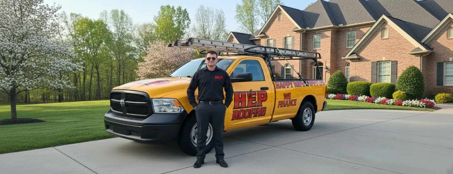
Experience a smarter way to safeguard your home with HEP’s cutting-edge drone imagery. Our FAA-certified pilots capture ultra-high-resolution photos and video from every angle, revealing cracked shingles, hidden leaks, and storm damage long before they escalate. No ladders, no guesswork—just precise data delivered straight to your inbox, complete with annotated visuals that make decisions easy.
By combining advanced AI analysis with seasoned roofing expertise, our roof inspections provide faster results, lower costs, and zero risk to your property. Whether you’re filing an insurance claim, planning maintenance, or buying a new home, trust HEP to turn aerial insights into confident action—before the next cloud rolls in.
FAQs
How does a drone roof inspection work and what equipment do you use?
We deploy a professional-grade quadcopter equipped with a high-resolution RGB camera and, when required, a radiometric thermal sensor. The pilot plans an automated flight path that keeps the drone a safe distance from the roof while capturing overlapping photos from multiple angles. GPS and on-board sensors stabilize the aircraft, and obstacle-avoidance prevents contact with the structure. After the flight, the imagery is processed with photogrammetry software to create detailed 2-D ortho-mosaics, 3-D point clouds, and measurement-ready models of your roof.
Is drone roof inspection safe and legal?
Yes. All flights are conducted by FAA Part 107-certified pilots who follow local air-space regulations and maintain at least 10 ft (3 m) clearance from the roof surface. Because no one has to climb a ladder or walk on steep or damaged areas, the risk of falls and property damage is virtually eliminated. We carry full aviation liability insurance and obtain any required air-space authorizations before takeoff.
What types of roofs or buildings can be inspected with drones?
Our drones can survey almost any residential, commercial, or industrial roof: asphalt shingle, metal, tile, TPO, EPDM, BUR, and even solar-panel installations. We can safely inspect steep-slope, multi-story, and large flat roofs that are difficult or impossible to access on foot. For high-rise structures, we use longer-range drones with zoom optics to comply with stand-off distance requirements.
How accurate are drone-based measurements compared to traditional methods?
When processed with ground control points, our photogrammetric models achieve horizontal and vertical accuracies within ±1 inch (2.5 cm). For most insurance and construction applications, this is equal to or better than hand-tape or wheel measurements. Thermal payloads can detect moisture intrusions as small as 1 sq ft, and AI-powered analytics can automatically count shingles, vents, and hail impacts.
What will I receive after the inspection and how quickly?
Within 24–48 hours you’ll receive a secure download link that includes: • A high-resolution ortho-mosaic roof map (JPEG/GeoTIFF) • 3-D model (.OBJ/.LAS) and point cloud for CAD/BIM import • PDF report with annotated images of defects, measurements, and condition grading • Optional thermal imagery layer highlighting trapped moisture or heat loss • CSV file with linear, area, and pitch calculations for estimating or claims.
How much does a drone roof inspection cost and will insurance cover it?
Residential inspections start at $199, while large commercial roofs are priced per square foot with volume discounts. The exact cost depends on roof size, complexity, and whether thermal or 3-D deliverables are required. Many property insurers now accept drone imagery; when the inspection is related to a covered loss, the fee is often reimbursable. We provide itemized invoices and can bill the carrier directly upon request.