
Drone Imaging
Your trusted partner for professional home services. Quality workmanship, guaranteed satisfaction.

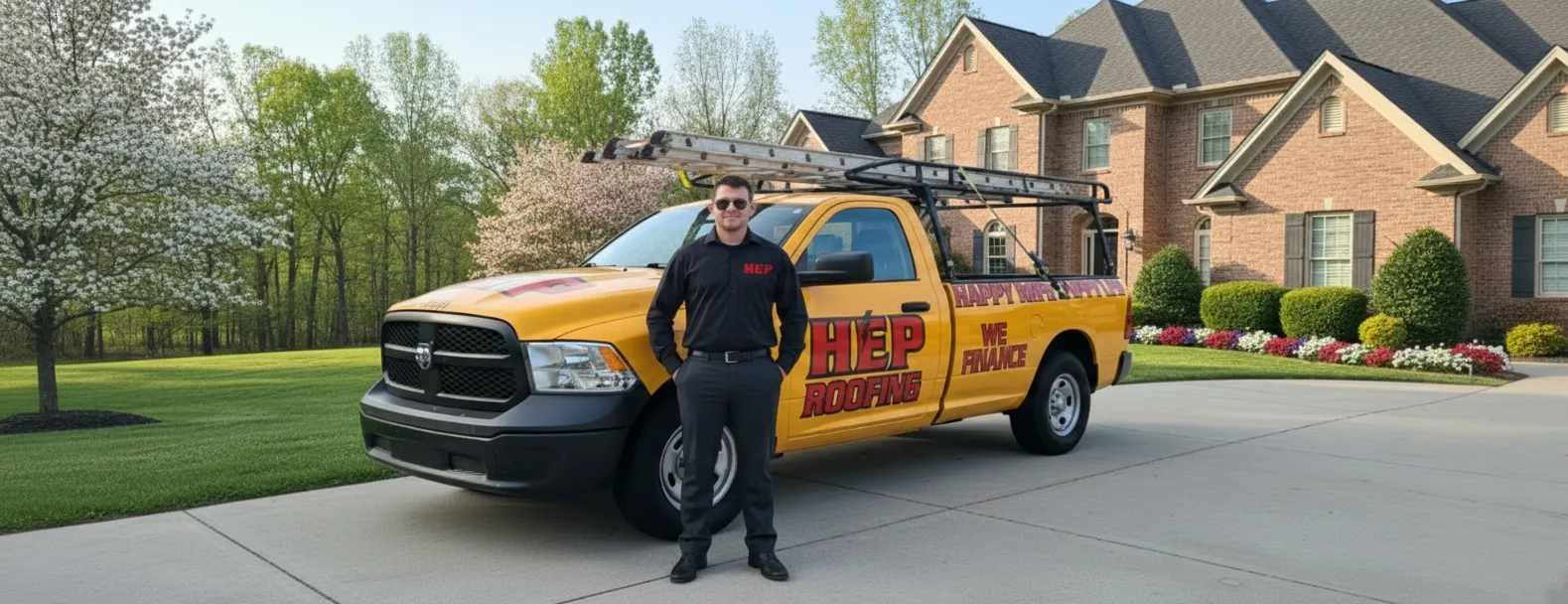
Drone Imaging | Storm Damage Restoration | Roofing | Louisville
When fierce Kentucky storms roll through, HEP’s FAA-certified drone pilots are in the air within hours, capturing crystal-clear 4K images of your Louisville roof. Our drones hover above every shingle and seam, revealing wind-torn flashing, hidden leaks, and hail bruises that a ladder inspection can miss—all without setting a single boot on your roof. You see exactly what we see in real time, empowering you to make fast, confident decisions while we document the damage for your insurance carrier.
From the first flyover to the final shingle, we handle the entire storm damage restoration process with hometown care and national-grade expertise. Our roofing crew moves in the moment your claim is approved, installing premium materials that match your home’s style and surpass local code. The result? A stronger, watertight roof that’s ready for the next thunderclap—and a smoother restoration experience that lets you get back to life under a safer, smarter roof.
FAQs
How does drone imaging improve roof inspections after a storm in Louisville?
High-resolution cameras mounted on drones capture detailed images of every slope, valley, and penetration on your roof without anyone having to climb a ladder. This gives our technicians a 360-degree view of hail strikes, wind-lifted shingles, punctures, and loose flashing. The process is faster, safer, and more accurate than traditional walk-around inspections, letting us document storm damage thoroughly and start your restoration plan sooner.
Is drone roof inspection legal in Louisville and do you follow FAA regulations?
Yes. Our pilots are FAA Part 107 certified and follow all federal guidelines for commercial drone operations, including altitude limits, airspace authorizations, and safety protocols. We also comply with Kentucky’s privacy and property regulations, securing homeowner consent before every flight and maintaining liability insurance for added peace of mind.
What kinds of storm damage can your drones detect?
Our drones use 4K optical zoom and infrared (thermal) sensors to spot: • Hail bruises and cracks in shingles • Missing, curled, or lifted shingles from high winds • Granule loss that exposes the asphalt mat • Bent or detached flashing around chimneys and vents • Soft spots or moisture intrusion revealed by temperature differences • Debris impact points from falling branches or airborne objects These images are geo-tagged so we can pinpoint exact locations when repairs begin.
Will the drone images help with my insurance claim?
Absolutely. The high-resolution photos, annotated damage maps, and thermal data we provide create a clear, time-stamped record of storm impacts. Most Louisville insurers accept this documentation as credible evidence, which can speed up claim approval and reduce disputes about coverage. If an adjuster needs additional proof, we can generate 3-D models and produce comparison images of pre- and post-storm conditions.
How long does the drone inspection take and when will I receive results?
A typical residential roof scan takes 20–30 minutes of flight time. Because data is captured digitally, our software processes images on site, allowing our roofing specialists to review findings the same day. You’ll receive a full report—complete with photos, thermal overlays, and repair recommendations—within 24 hours of the inspection.
Do I still need a crew on the roof after the drone inspection?
While drones handle the assessment phase, physical repairs still require skilled technicians. The drone data helps us create an accurate materials list, minimize time on the roof, and target only the damaged areas. This reduces labor costs, limits wear on your shingles, and ensures the crew’s time on your property is as brief and safe as possible.