
High-resolution Drone Imaging
Your trusted partner for professional home services. Quality workmanship, guaranteed satisfaction.

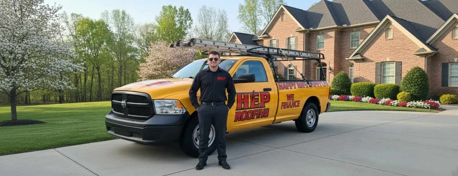
High-resolution Drone Imaging | Roof Inspections | Roofing | Cumberland Gap
Cumberland Gap’s layered ridges aren’t the only high places that deserve a breathtaking view. HEP’s high-resolution drone imaging sweeps over your home with the same precision pilots use over the mountains, capturing crystal-clear visuals of every shingle, flashing, and valley in a matter of minutes. You see what our certified techs see—stunning 4K images and infrared data that reveal hidden leaks, storm damage, or aging materials without ever setting foot on the roof.
This cutting-edge approach to roof inspections means no ladders gouging gutters, no guesswork, and no downtime for your family or business. From historic cabins to modern builds, HEP delivers actionable reports the same day, complete with annotated photos, repair recommendations, and transparent estimates. When you want the safest, most detailed look at the roof above your slice of Cumberland Gap, let our drones do the climbing while you enjoy the view.
FAQs
How does a high-resolution drone roof inspection work?
One of our FAA Part 107–certified pilots launches a GPS-stabilized drone equipped with a 20- to 48-megapixel camera (and optional thermal sensor). The aircraft flies a pre-programmed grid over your home or commercial building in Cumberland Gap, capturing overlapping 4K images from multiple angles. Photogrammetry software then stitches the photos into a detailed 2-D orthomosaic and 3-D model, allowing us to measure slopes, calculate square footage, and pinpoint damage without ever stepping on the roof.
Is drone imaging safe for my roof and property?
Yes. Because the drone never touches your roofing material, there is zero risk of shingle scuffing, tile breakage, or gutter damage that traditional foot-traffic inspections can cause. Our pilots maintain clear flight paths well above obstacles, follow FAA altitude limits, and carry $1 million in liability coverage for additional peace of mind.
Do I need to be home during the inspection?
No. As long as we have exterior access, we can perform the entire flight while you’re away. We’ll coordinate a 30-minute window, text you when we arrive, and send a secure link to the imagery and inspection report within 24–48 hours. If you prefer to be present, our technician can provide a live tablet feed so you can watch the inspection in real time.
How accurate are the measurements taken by your drone?
Our drones capture images with ground sampling distances as fine as 0.3 inches per pixel. Combined with RTK GPS positioning, this yields measurement tolerances within ±1 inch over a 50-foot span—more precise than tape-measure or wheel methods and fully accepted by major insurance carriers for claims documentation.
What types of roofs can you inspect in and around Cumberland Gap?
We inspect residential asphalt-shingle, metal, slate, clay tile, and flat membrane roofs, as well as commercial low-slope buildings up to 200 feet tall. Steep 12/12 pitches, inaccessible valleys, and multi-story structures are all easily covered by the drone, making it ideal for the historic and hilly terrain typical of Cumberland Gap properties.
How much does a drone roof inspection cost and what’s included?
Standard residential inspections start at $199, which covers the flight, high-resolution photo set, annotated damage map, 3-D roof model, and a written condition report highlighting maintenance or repair recommendations. Larger or multi-building commercial projects are quoted per square foot, and thermal scans or post-storm emergency call-outs can be added for an additional fee.