
Drone Imagery
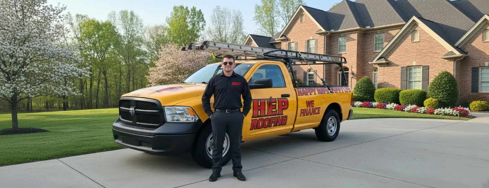
Your trusted partner for professional home services. Quality workmanship, guaranteed satisfaction.

Drone Imagery | Roof Inspections | Roofing | Copperhill
Discover a smarter way to keep Copperhill roofs secure and storm-ready with HEP’s drone imagery. Our FAA-certified pilots launch high-resolution drones that capture every shingle, flashing, and valley from multiple angles, revealing hidden damage that traditional roof inspections often miss. The process is contact-free, lightning-fast, and far safer than sending crews up ladders, so you get crystal-clear evidence of your roof’s condition without the risk or disruption.
Within hours, our experts translate those detailed visuals into an easy-to-read report, complete with 3-D models and repair recommendations tailored to Copperhill’s unique weather patterns. Whether you’re a homeowner safeguarding your investment or a property manager streamlining maintenance budgets, HEP’s drone-powered roof inspections give you the confidence to act quickly, prevent costly leaks, and extend the life of your roof.
FAQs
How does a drone roof inspection work and what imagery do you capture?
After scheduling, our FAA-licensed pilot arrives at your Copperhill property with a high-resolution drone equipped with 20-MP still cameras and 4K video. We program an automated flight path that keeps the aircraft a safe distance from your roof while capturing overlapping photos from multiple angles. The drone records nadir (straight-down) shots, oblique images of all slopes, and close-up zooms of flashing, vents, valleys, and ridge caps. Back at the office we process the images into an orthomosaic map, 3-D model, and annotated photo set that highlight damage, wear patterns, and measurement data such as pitch, length, and surface area.
Why is drone imagery better than traditional roof inspection methods in Copperhill?
Copperhill’s steep metal roofs and older shingle structures can be slippery, especially after frequent mountain rains. Drones eliminate the need for ladders and foot traffic, reducing liability and avoiding further damage to fragile roofing materials. Aerial imagery also reveals hidden issues—like hail bruising or lifted shingles—along ridges and eaves that may be missed from the ground. Because the drone covers the entire roof in minutes, you receive faster, more comprehensive documentation than a manual inspection, with measurement accuracy typically within ±1 inch.
Is drone roof inspection safe and compliant with FAA regulations?
Yes. All flights are conducted by Part 107-certified remote pilots who follow FAA rules for daylight operations, maximum altitude (400 ft AGL), and visual line of sight. We maintain $2 million in aviation liability insurance and perform a pre-flight risk assessment to check weather, airspace class, and nearby obstacles. Copperhill sits in uncontrolled Class G airspace, so no special authorizations are normally required, but we still file a LAANC notification for transparency. Your data is encrypted in transit and stored on secure, U.S.-based servers.
What types of roofs or properties in Copperhill can be inspected with your drones?
Our fleet handles virtually any structure in Polk County—from single-family cabins and historic downtown shops to metal-panel industrial warehouses. We can map roofs up to 150,000 sq ft, inspect steep 12/12 pitches, and capture details on complex valleys and dormers. Asphalt shingles, standing-seam metal, EPDM, and TPO membranes are all compatible. For multi-story buildings, the drone hovers at precise altitudes, allowing close, distortion-free imagery without scaffolding or lifts.
How much does a drone roof inspection cost and what’s included in the report?
For homes under 4,000 sq ft, inspections start at $249, which covers on-site flight, image processing, and a digital report. Larger residential and commercial roofs are priced at $0.06–$0.10 per square foot. Every package includes: 1) downloadable 4K photos and video; 2) a PDF damage assessment with annotated images; 3) measurement tables for area, pitch, and linear footage; and 4) a shareable 3-D model link for contractors or insurance adjusters. Optional thermal imaging to detect trapped moisture is available for an additional $75.
How quickly can you schedule a drone inspection and when will I receive my results?
Most Copperhill appointments can be scheduled within 48 hours, weather permitting. The on-site flight itself takes 20–40 minutes. Standard image processing and analysis are completed the same day, and you receive an email with your report within 24 hours of the inspection. For urgent real-estate closings or storm-damage claims, we offer same-day turnaround at no extra charge, provided the flight is booked before noon.