
Drone Photography
Your trusted partner for professional home services. Quality workmanship, guaranteed satisfaction.

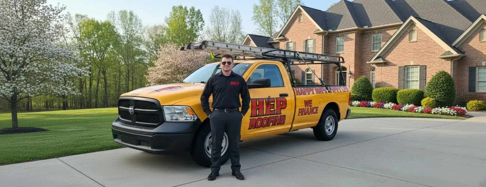
Drone Photography | Roof Inspections | Roofing | Charleston
Charleston’s skyline and sea-swept weather demand vigilant care of every shingle, and HEP answers with cutting-edge drone photography that turns routine roof inspections into a swift, data-rich experience. Our FAA-certified pilots launch high-resolution drones that glide over your home or commercial property, capturing crystal-clear images and thermal readings without a single boot touching your tiles. You gain instant access to detailed imagery, pinpoint measurements, and actionable reports—so you can see storm damage, aging materials, and hidden leaks before they become costly surprises.
By replacing ladders with lenses, we keep you safer, shorten project timelines, and eliminate guesswork. Whether you’re preparing for insurance claims, real-estate transactions, or preventative maintenance, HEP’s aerial perspective provides the confidence you need to protect your investment. Discover why Charleston property owners trust our drone-powered expertise and schedule your roof inspections today—because the best view of your roof is from above.
FAQs
How does a drone roof inspection work and what kinds of issues can you detect?
One of our FAA-certified pilots will launch a small, battery-powered drone equipped with a 20-megapixel camera (and optional thermal sensor) from a safe spot on your property. The aircraft flies programmed flight paths 30–100 ft above the roof, capturing overlapping high-resolution photos and 4K video of every slope, valley, flashing, ridge cap, chimney, and penetration. Advanced software then stitches those images into an ortho-mosaic map accurate to 1 cm, allowing us to zoom in on broken shingles, lifted tabs, granule loss, ponding, cracked pipe boots, missing fasteners, soft spots, and even subtle heat anomalies that indicate trapped moisture or leaks. All data are reviewed by a Haag-certified roofing inspector, and a detailed PDF report with annotated photos, measurements, and repair recommendations is delivered to you and, if requested, your insurance adjuster.
Are drone roof inspections legal in Charleston and do you have the necessary approvals?
Yes. Commercial drone operations in the United States are governed by the Federal Aviation Administration’s Part 107 regulations. All of our pilots hold current Part 107 Remote Pilot Certificates, carry $2 million in liability insurance, and follow strict airspace, altitude, and daylight rules. Before every mission we check the Lowcountry’s controlled airspace maps (CHS Airport Class C and Joint Base Charleston Class D) and obtain automated LAANC approval when needed. We also coordinate with property owners and, in Charleston’s historic districts, comply with any municipal filming ordinances so the flight is 100 % legal and worry-free.
What advantages does drone photography offer over traditional roof inspections?
• SAFETY – No ladders, harnesses, or foot traffic means zero risk of falls or roof damage. • SPEED – A 3,000 sq ft roof can be scanned in under 15 minutes, freeing up your day. • DETAIL – 20-MP images, 4K video, and thermal data reveal problems often missed by the naked eye. • COST – Eliminates the labor, equipment rentals, and liability costs of manual climbs. • ACCESS – Steep‐slope metal, slate, clay tile, and fragile historic roofs common in Charleston can be inspected without touching them. • DOCUMENTATION – You receive a cloud-hosted interactive 3-D model, measurement report, and photo set that can be shared with contractors and insurers.
Will a drone inspection damage my roof, landscaping, or disturb my neighbors?
No. The drone never touches your roof; it hovers several feet away while stabilized by GPS and vision sensors. The aircraft weighs less than 2 lb and uses quiet, low-RPM propellers that generate under 65 dB—about the volume of normal conversation—so most neighbors don’t even notice. Take-off and landing are performed from a driveway or open lawn, and propeller guards are fitted when space is tight. Our pilots maintain a direct visual line of sight at all times and follow ASTM F38 safety protocols to protect people, pets, and property on the ground.
How much does a drone roof inspection cost in the Charleston area and what is included?
Prices start at $249 for single-family homes up to 3,500 sq ft within 20 mi of downtown Charleston. Larger or multi-building properties typically range from $299–$449. Every package includes: 1. On-site flight by an FAA-licensed pilot 2. 50–100 high-resolution photos & 4K video clips 3. Fully measured roof diagram (eave, ridge, slope, pitch, and area) 4. Annotated damage report suitable for insurance claims 5. Secure online gallery and downloadable PDF There are no hidden fees; travel surcharges apply only beyond 40 mi or inside restricted airspace that requires special FAA waivers.
How quickly can you schedule an inspection and when will I receive the results?
Because drone flights are brief and weather-dependent, we can usually schedule most Charleston-area inspections within 24–48 hours. During hurricane season or after major storms, priority is given to emergency leak assessments. Image processing and report generation take 2–4 hours; therefore, standard deliverables are emailed the same day for morning flights or by 9 a.m. the next business day for afternoon flights. Rush service with a two-hour turnaround is available on request, making our drone inspections the fastest way to document storm damage and begin the repair or insurance claim process.